

Geoproekt Inženering
GEOPROEKTInženering · Skopje
Licensed surveying and cadastral company · since 2006

Land surveying, cadastre and underground utility detection

Geoproekt Inženering DOOEL provides land and cadastral surveying, engineering surveying, UAV photogrammetry and aerial thermography, and detection of underground utilities with ground-penetrating radar (GPR) throughout Macedonia.

2006year founded
1 working dayto prepare a quotation
GPR + EMmetallic and non-metallic utilities
Air · ground · subsurfaceintegrated survey
Services

Surveying and cadastral services

The company prepares survey reports and topographic base maps in accordance with the Law on Real Estate Cadastre and applicable technical regulations. Clients include private individuals, investors, design and construction companies, local government units and courts.

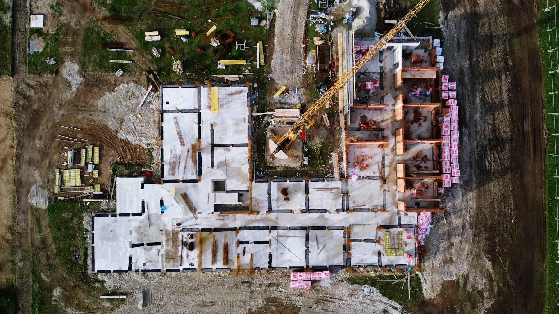
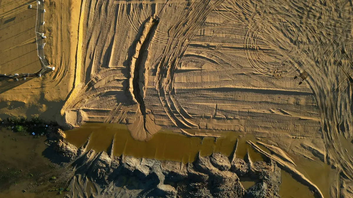
Aerial view of earthworks and excavation
UAV photogrammetryOrthophoto, DTM and volume calculation
Surveyor with a GNSS receiver on a construction site
GNSS surveysMAKPOS, in real time
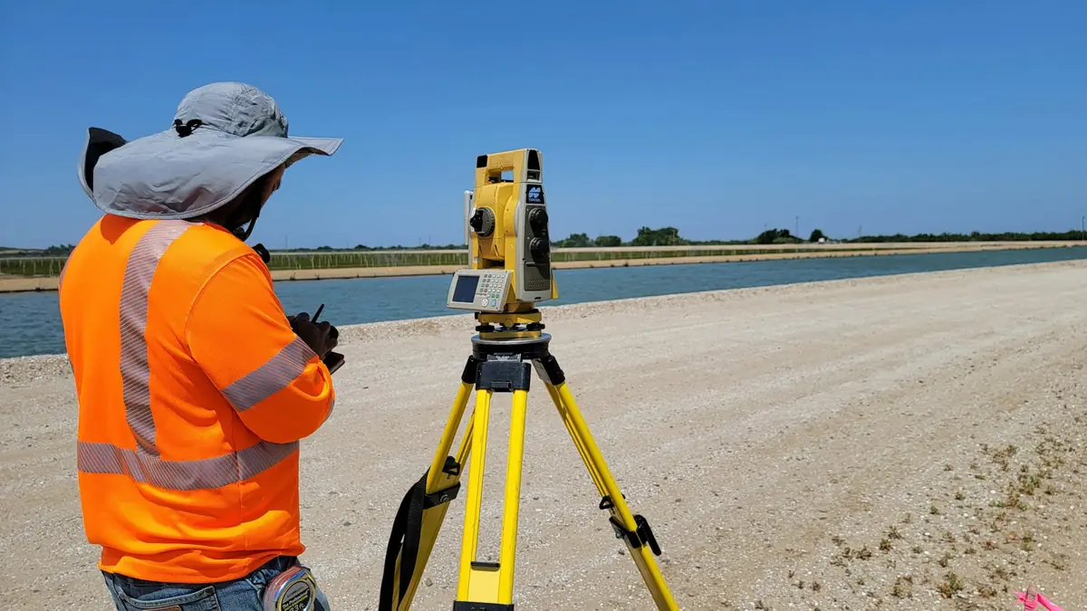
Surveyor with a total station in the field
Engineering surveyingSetting out and control
Aerial view of a highway interchange
Topographic base mapsFor roads and urban planning
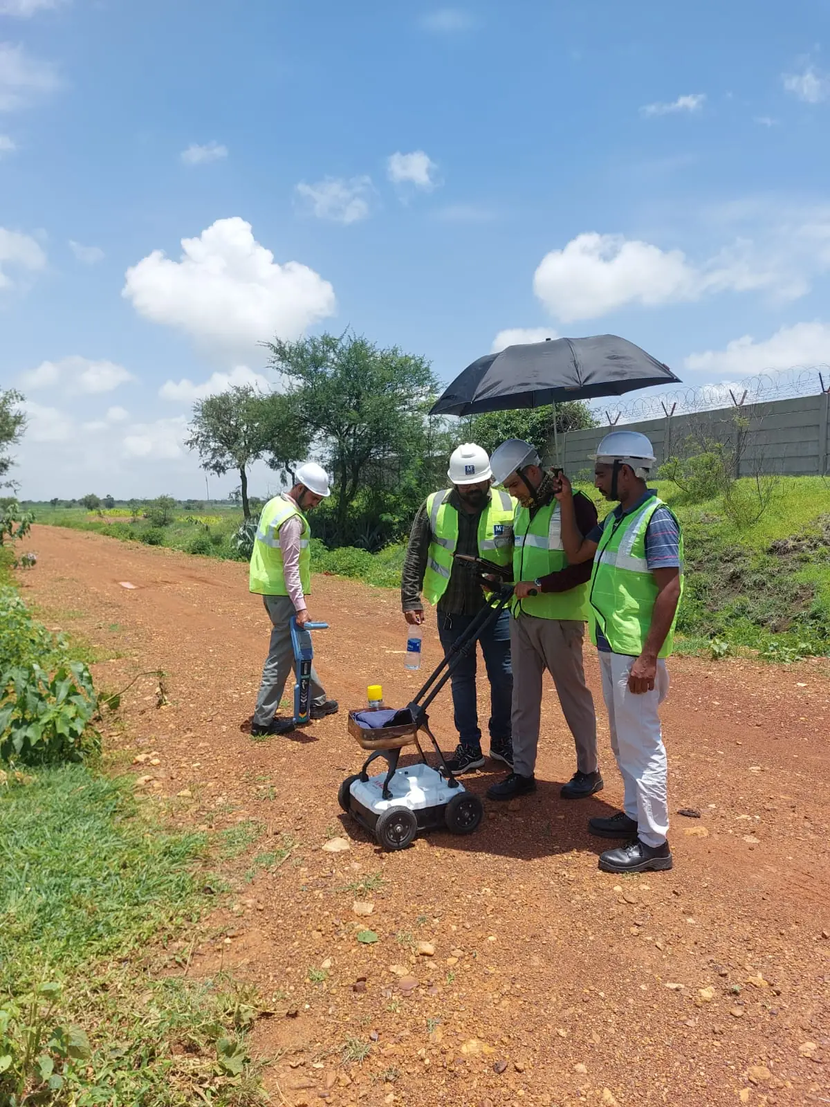
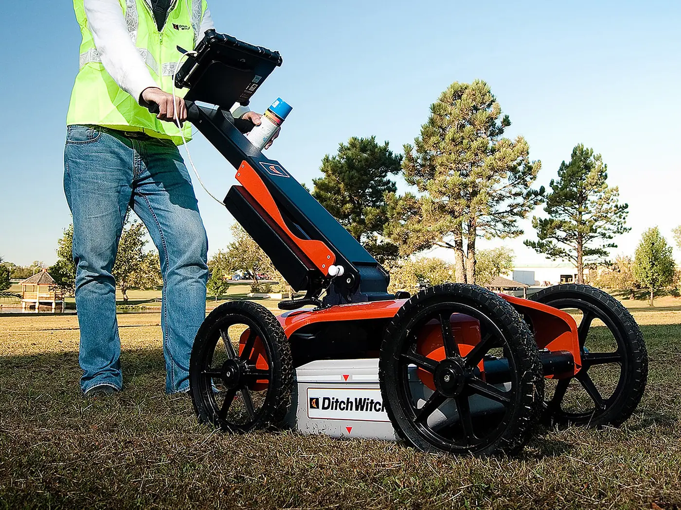
Cart-mounted ground-penetrating radar scanning the ground
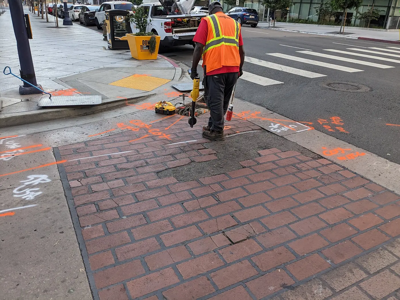
Underground utilitiesDetection before excavation
01

Real estate cadastre

Survey reports for registering rights and changes in the Real Estate Cadastre.

  • Subdivision and merging of cadastral parcels
  • Survey reports for legalisation of illegally built structures
  • Survey reports for separate building units and physical division
  • Staking out of cadastral parcel boundaries
  • Registration of infrastructure assets in the cadastre
02

Engineering surveying

Surveying work in the design, construction and operation phases of structures.

  • Setting out of buildings and infrastructure
  • As-built surveys
  • Settlement and deformation monitoring
  • Verticality and dimensional control
  • Earthwork volume calculation
03

Topographic base maps

Up-to-date topographic base maps for urban planning and design.

  • Base maps for urban planning
  • Base maps for main design projects
  • Digital terrain model
  • Surveys for special purposes
  • Infrastructure cadastre
04

GNSS surveys and geodetic networks

Real-time positioning via MAKPOS and static observations with post-processing.

  • RTK surveys via MAKPOS
  • Static GNSS surveys
  • Establishment of geodetic control networks
  • Coordinate transformations between national and local systems
  • Control networks for engineering structures
05

Real estate valuation

Market value of real estate determined by licensed appraisers.

  • Residential and commercial property
  • Building and agricultural land
  • Valuation for mortgage lending
  • Valuation for division and inheritance
06

Expert witness services

Expert surveying opinions in judicial and extrajudicial proceedings.

  • Boundary and area disputes
  • Survey of the existing situation on site
  • Easement assessments
  • Expert reports for courts and notaries
One team for the entire survey

Cadastral, engineering, aerial and subsurface surveys are performed by one team in a single coordinate reference system.

In-house equipment, registered operator

The company owns a complete set of equipment for field surveying, aerial mapping and detection and is a registered UAV operator with the Civil Aviation Agency.

Documentation ready for the cadastre

Deliverables are prepared in formats accepted by the Agency for Real Estate Cadastre, design engineers and the competent authorities.

Advanced technology

UAV photogrammetry, thermal imaging and underground utility detection

UAV surveying significantly reduces field time over large areas. Detection with ground-penetrating radar and electromagnetic locators establishes the position of underground utilities before construction begins.

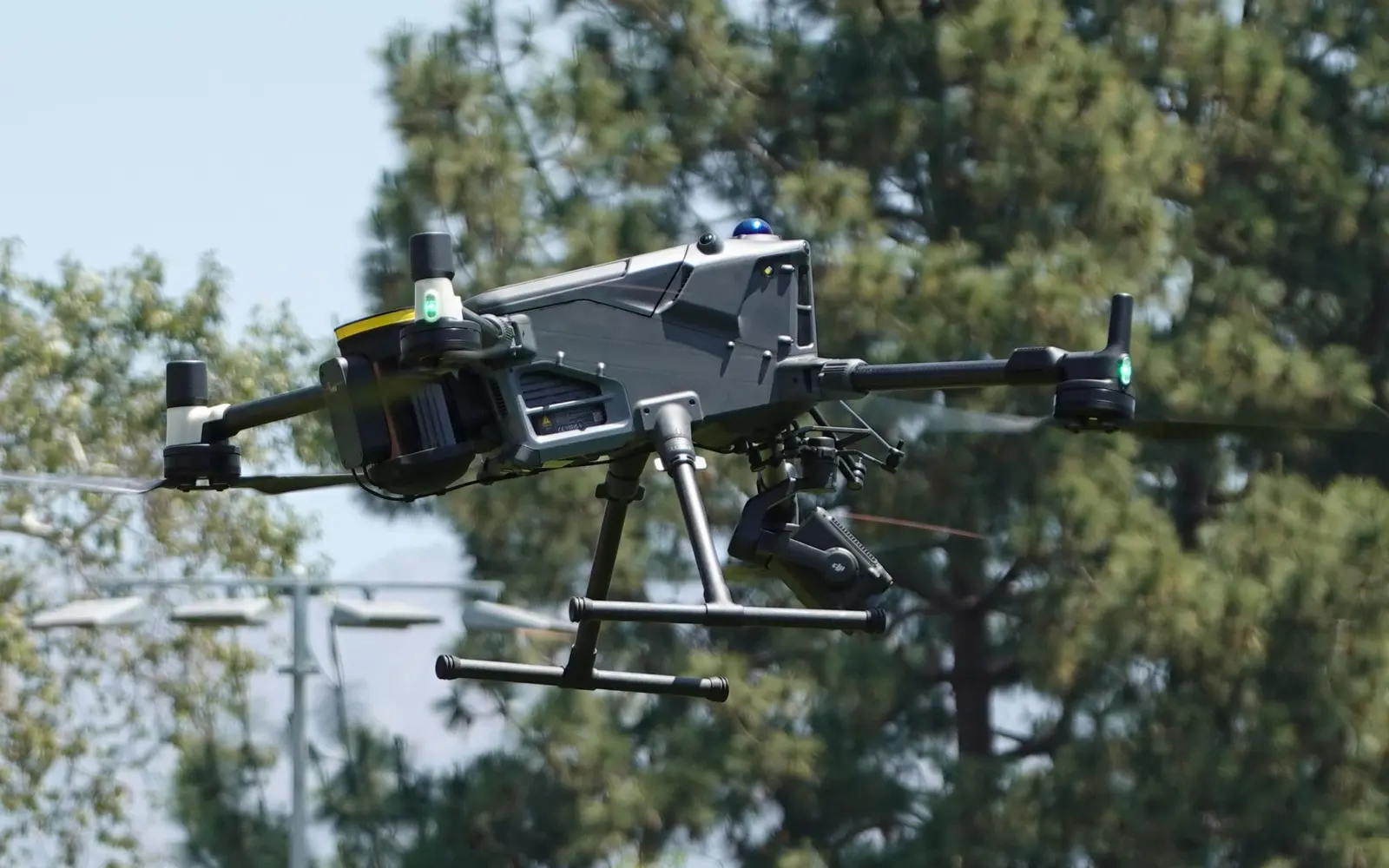
DJI Matrice 400 industrial UAV in flight
OVERLAP 75% / 65%FLIGHT ALTITUDE 80 mGCP · ground control points surveyed with GNSS
FLIGHT PLAN · PHOTOGRAMMETRYSchematic
ORTHO

Orthophoto

Georeferenced orthophoto at centimetre resolution, ready for measurement and use in CAD and GIS.

3D

3D models and point clouds

Photogrammetric models of buildings, façades, quarries and construction sites as a basis for design and BIM.

DTM

Digital terrain model

DSM and DTM, contour lines and longitudinal and cross profiles for the design of roads, channels and subdivisions.

m³

Volumes and construction monitoring

Volumes of stockpiles, quarries and excavations. Periodic surveys of construction progress.

ha

Large-area mapping

Land surveys for land consolidation, subdivision and agricultural registers, backed by experience on the LPIS project.

CHOICE OF METHOD BY SURVEY TARGET
Survey targetGround-penetrating radarEM locatorUAV RGBUAV thermal
Metallic pipes and cablesyesyes, primary——
PVC, PE and concrete pipesyes, primarywith a sonde——
Voids and old foundationsyesno——
District-heating leakspartialno—yes, primary
Terrain, areas, volumes——yes—
Solar panels and roofs——visualyes, primary
Equipment

Complete in-house equipment

All equipment is regularly serviced and checked. Every survey is tied to the national coordinate system through the MAKPOS network.

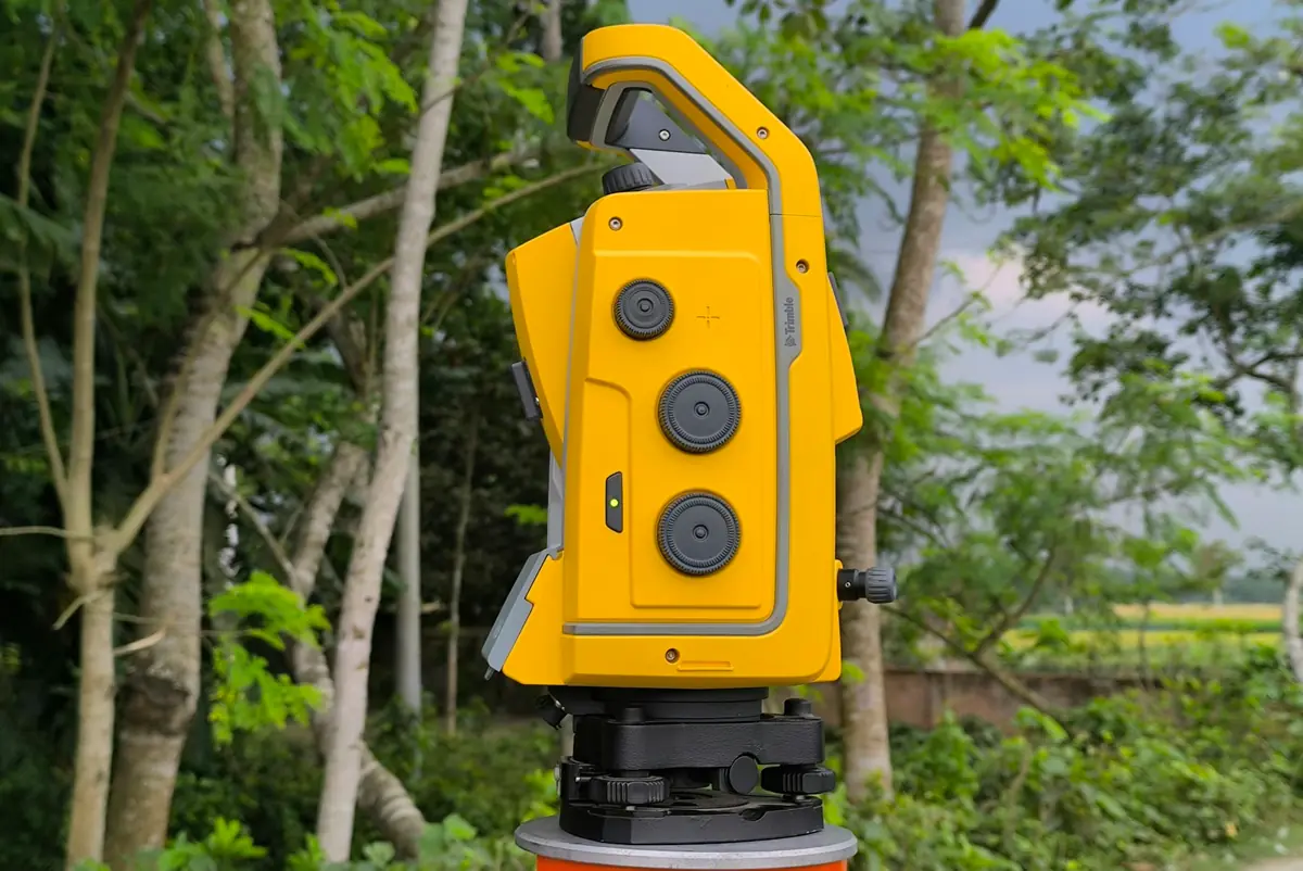
Robotic total station in the field
01 — TOTAL STATIONRobotic total stationsPrecise angle and distance measurement, setting out and site control.
Surveyor with a GNSS receiver on a construction site
02 — GNSS RTKGNSS receiversReal-time positioning through the MAKPOS network.
DJI Matrice 400 industrial UAV in flight
03 — DJI MATRICEDJI MatriceIndustrial UAV with RTK, mapping and thermal cameras for orthophotos, 3D models and thermograms.
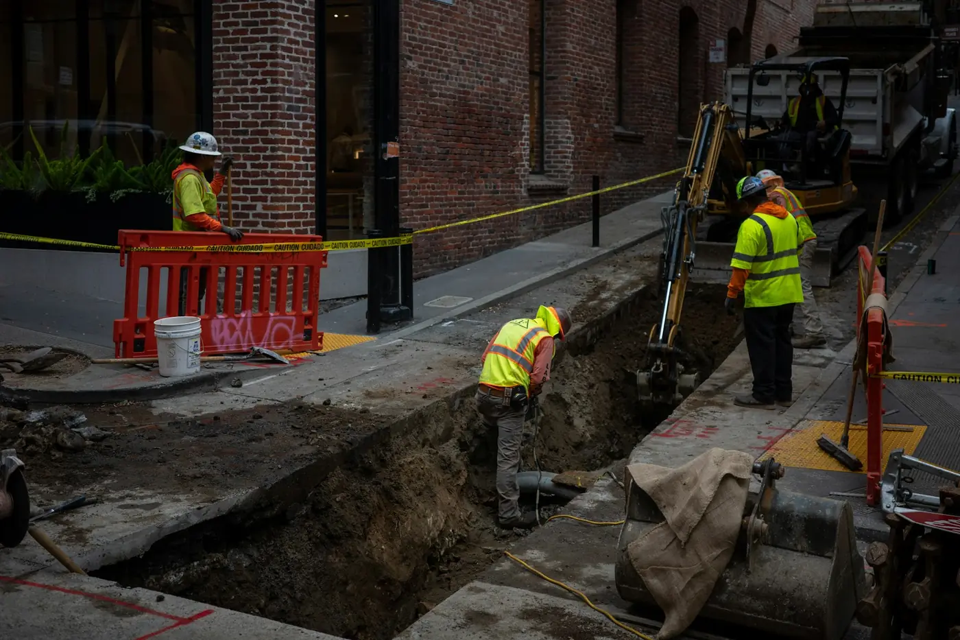
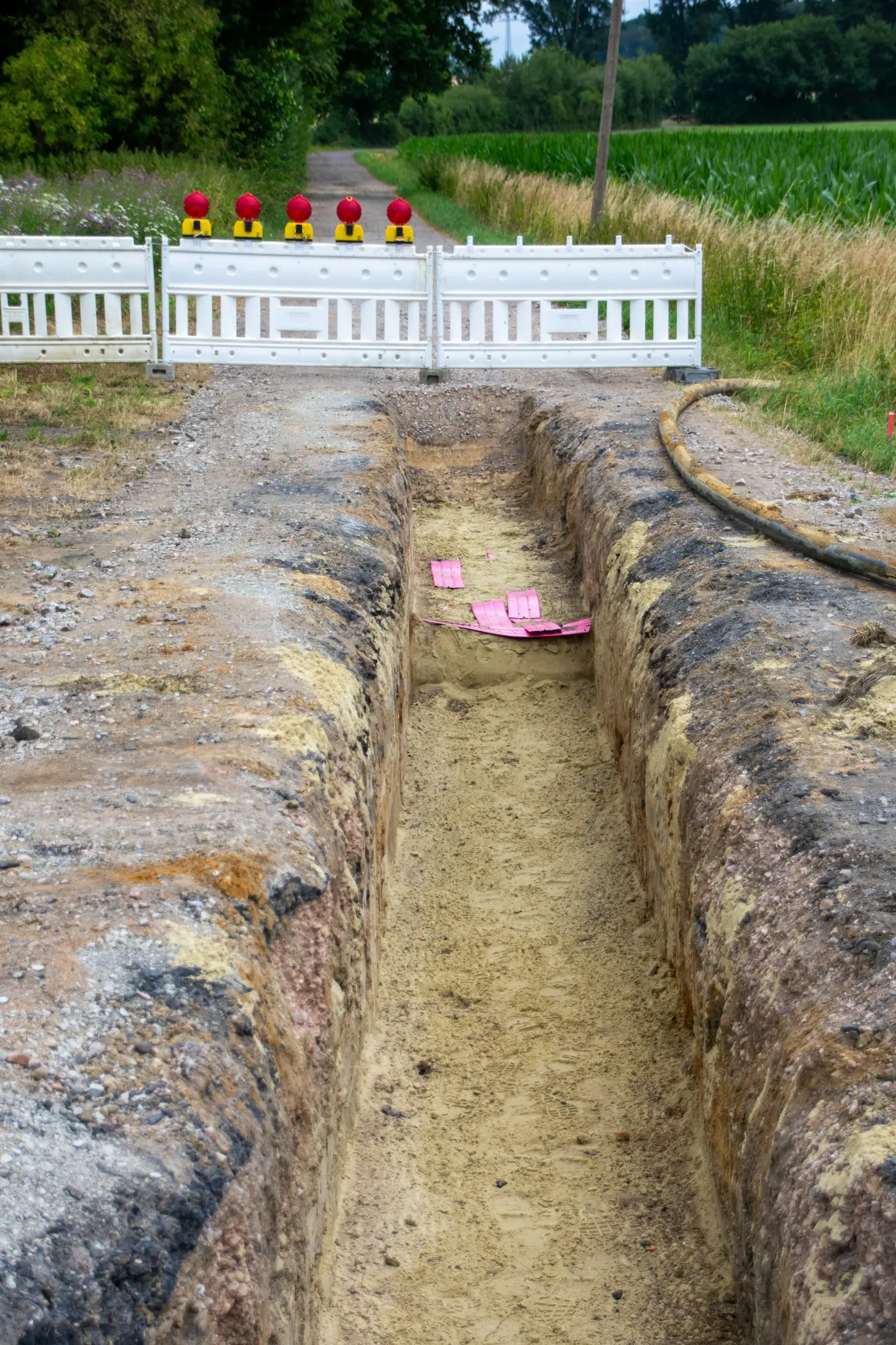
Underground pipes in an open trench
04 — GPR · EMGPR and utility locatorsDetection of metallic and non-metallic underground utilities before excavation.
Surveyor with a total station in the field
05 — FIELDField crewsLicensed surveyors with complete equipment throughout Macedonia.
01 / 05
GNSSGNSS RTK receivers

Real-time and static observations.

TSTotal stations

Precise measurement of horizontal and vertical angles and distances; setting out and control.

NIVDigital levels

Levelling and settlement monitoring.

UAVDJI Matrice with RTK

Registered operator with the Civil Aviation Agency. Industrial UAV with RTK positioning and a high-resolution mapping camera for orthophotos, 3D models and point clouds.

IRThermal camera

Radiometric aerial thermal imaging.

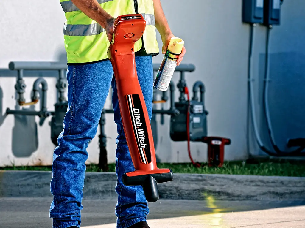
GPRGround-penetrating radar

Detection of non-metallic utilities and buried objects.

EMUtility locator

Electromagnetic tracing of metallic pipes and cables.

SWProcessing software

CAD, GIS and photogrammetric data processing.

Process

Service procedure

Scope, deadlines and price are agreed before work begins.

  1. Request

    Submission of the request with the property certificate and available documents.

  2. Quotation

    Agreement on method, delivery time and price.

  3. Field survey

    Surveys with GNSS, total station, UAV or ground-penetrating radar.

  4. Processing

    Computations, models and drawings in line with regulations.

  5. Delivery

    Delivery of the survey report, base map or model and submission to the competent authority.

References

Selected references

In addition to regular work for individuals and companies, the company has taken part in projects of national and international importance.

GNSS · Geodetic network

Network of passive geodetic control points

Establishment of a network of passive control points with coordinates determined by static GNSS observations.

Agriculture · International project

LPIS, in cooperation with Geodis (Czech Republic)

Participation in establishing the Land Parcel Identification System (LPIS).

Request a quotation

A parcel, a building or a utility route

Describe the work required. A quotation is prepared within one working day.

Submit a request
About

Geoproekt Inženering DOOEL

From the air to the subsurface, to the centimetre.

Geoproekt Inženering DOOEL is a surveying and cadastral company based in Skopje, founded in 2006. Through its licensed surveyors, the company performs surveying work and prepares survey reports for the Real Estate Cadastre.

Work is carried out by a team of licensed surveyors and engineers throughout Macedonia, for private individuals, companies and public institutions.

With the introduction of UAVs, thermal imaging and ground-penetrating radar, the company complements conventional surveying with methods for rapid mapping of large areas and for locating underground utilities.

FAQ

Frequently asked questions

Answers to the questions most often asked by property owners, investors and design engineers.

01Which documents are needed for a cadastral survey report?

Usually a property certificate or other proof of ownership, together with any existing technical documentation, such as a building permit or design. The exact list depends on the type of report and is stated in the quotation.

02How long does it take to prepare a survey report?

The deadline depends on the type and scope of work and is agreed in the quotation before work begins. Processing time at the Agency for Real Estate Cadastre does not depend on the company.

03Do you submit the report to the cadastre?

Yes. Once completed, the report is submitted to the Agency for Real Estate Cadastre for review and certification in accordance with the prescribed procedure.

04What accuracy does UAV mapping achieve?

With RTK positioning and ground control points surveyed by GNSS, orthophotos and models achieve an accuracy of a few centimetres. The ground sampling distance (GSD) depends on flight altitude and is typically 1 to 3 cm.

05How deep can ground-penetrating radar detect?

Depth depends on antenna frequency and soil type. In typical urban conditions utilities are detected to about 1.5 to 3 m; in wet and clay soils the depth is lower.

06Does GPR detect plastic pipes?

Yes. Ground-penetrating radar detects non-metallic utilities such as PVC and PE pipes and concrete ducts. An electromagnetic locator detects only metallic utilities, or non-metallic ones when a sonde is inserted.

07Do you work outside Skopje?

Yes. The company works throughout Macedonia.

08How is the price determined?

The price depends on the type of work, the area or route length, the location and the deadline. A quotation is prepared from the description provided, within one working day.

Contact

Request a quotation

Address
Ankarska 33, 1000 Skopje, Macedonia
Mobile
+389 70 384 531
Phone
+389 2 3052 223
Phone
+389 2 3052 224
E-mail
geoproing@gmail.com
Office hours
Monday – Friday, 08:00 – 16:00
Type of service
Requests are processed within one working day.